Site Surveys
The starting point of every accurate detailed design: total station and laser scanner surveys, for reliable production detailing.
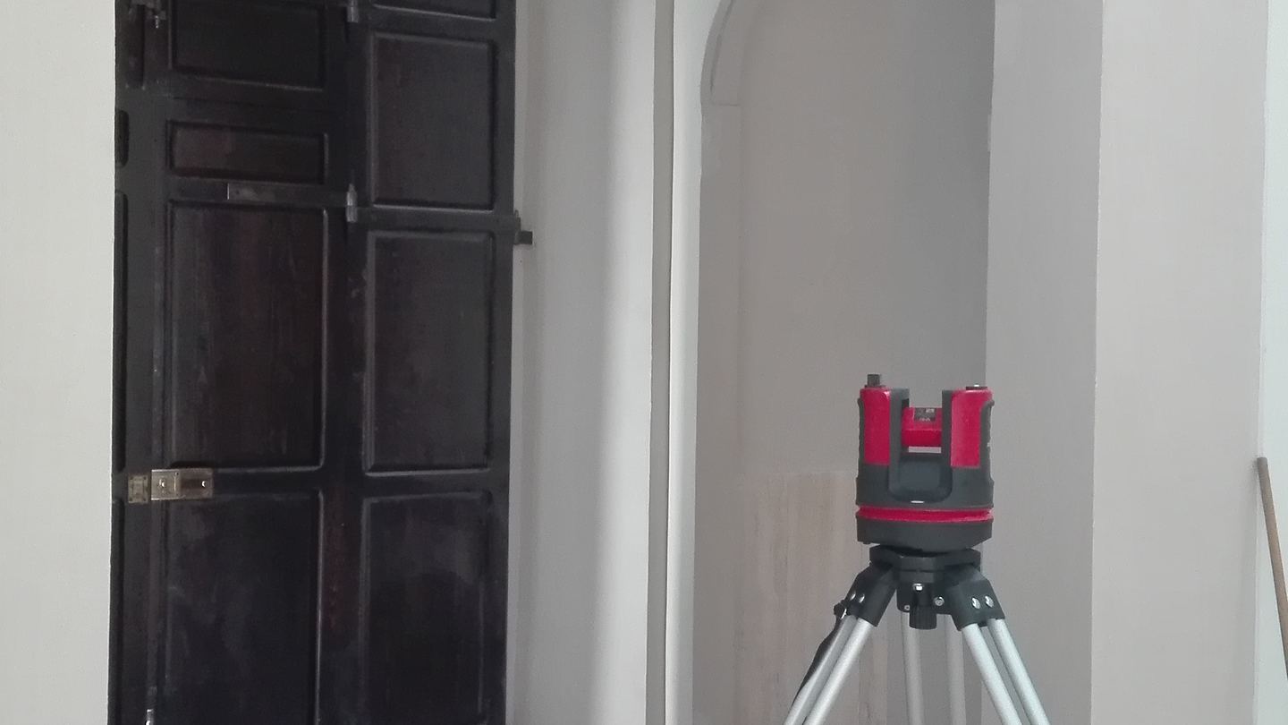
Before drawing a construction detail, you need real measurements. We carry out site surveys with total station and laser scanner, delivering point clouds and as-built surveys as the foundation for the detailed design — essential for facades, staircases and special structures where tolerances are down to a few millimetres.
The survey underpins accurate detailed design: it reduces errors during fabrication and installation, and lets us catch any discrepancy between the architectural design and the actual state of the building or the ongoing site works early on.
Total station or laser scanner: when to use which
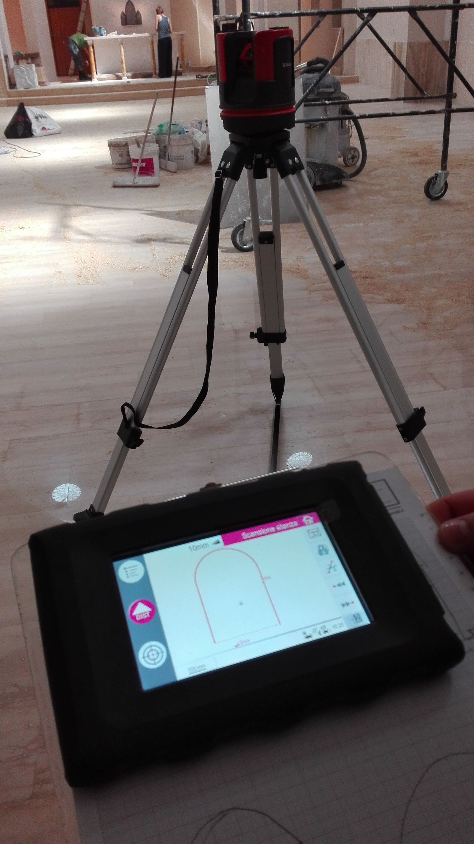
The two technologies don't compete, they complement each other. A total station measures individual points with very high precision — levels, alignments, distances between a handful of key references — and is the fastest choice when only a few data points are needed, for example to check the spacing between two columns before ordering a custom facade. A laser scanner instead captures millions of points per second, producing a dense, continuous 3D point cloud: essential for geometrically complex environments, irregular surfaces or historic buildings where a handful of point measurements simply won't do.
A survey isn't only useful on existing buildings: even on new construction, checking the actual state of a concrete or steel structure before designing the facade or staircase dramatically reduces production errors. In renovations, where the original architectural drawings often no longer match the building's actual condition, the survey becomes the mandatory starting point for any reliable execution project. At the end of the survey, the client receives the point cloud in a standard format, a navigable as-built model and, when required, the 2D and 3D drawings of the sections and details needed for design.
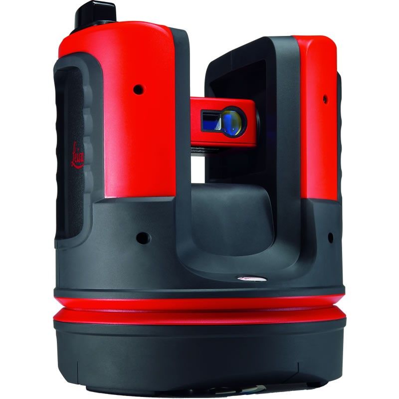
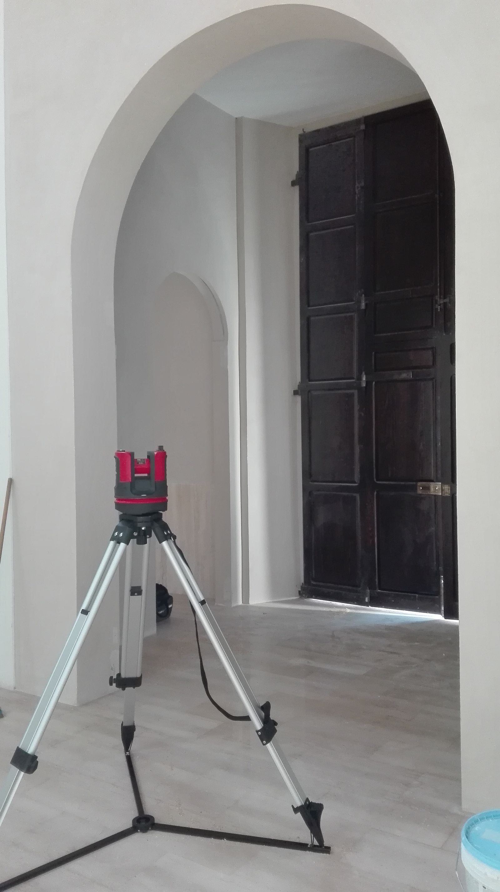
Equipment and survey output
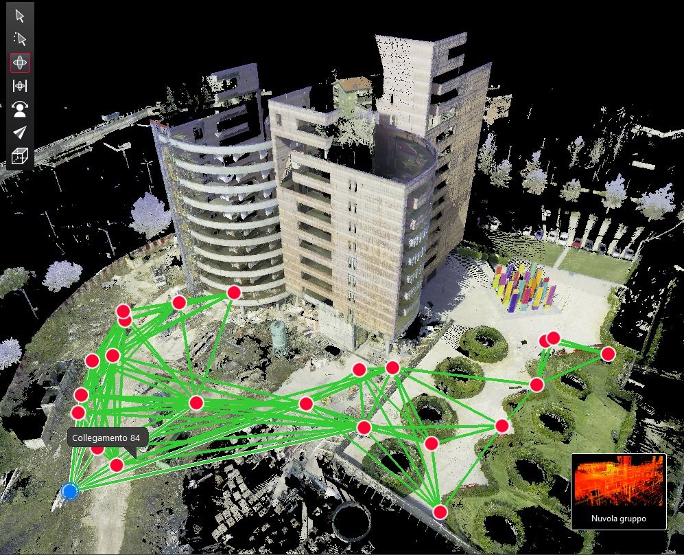
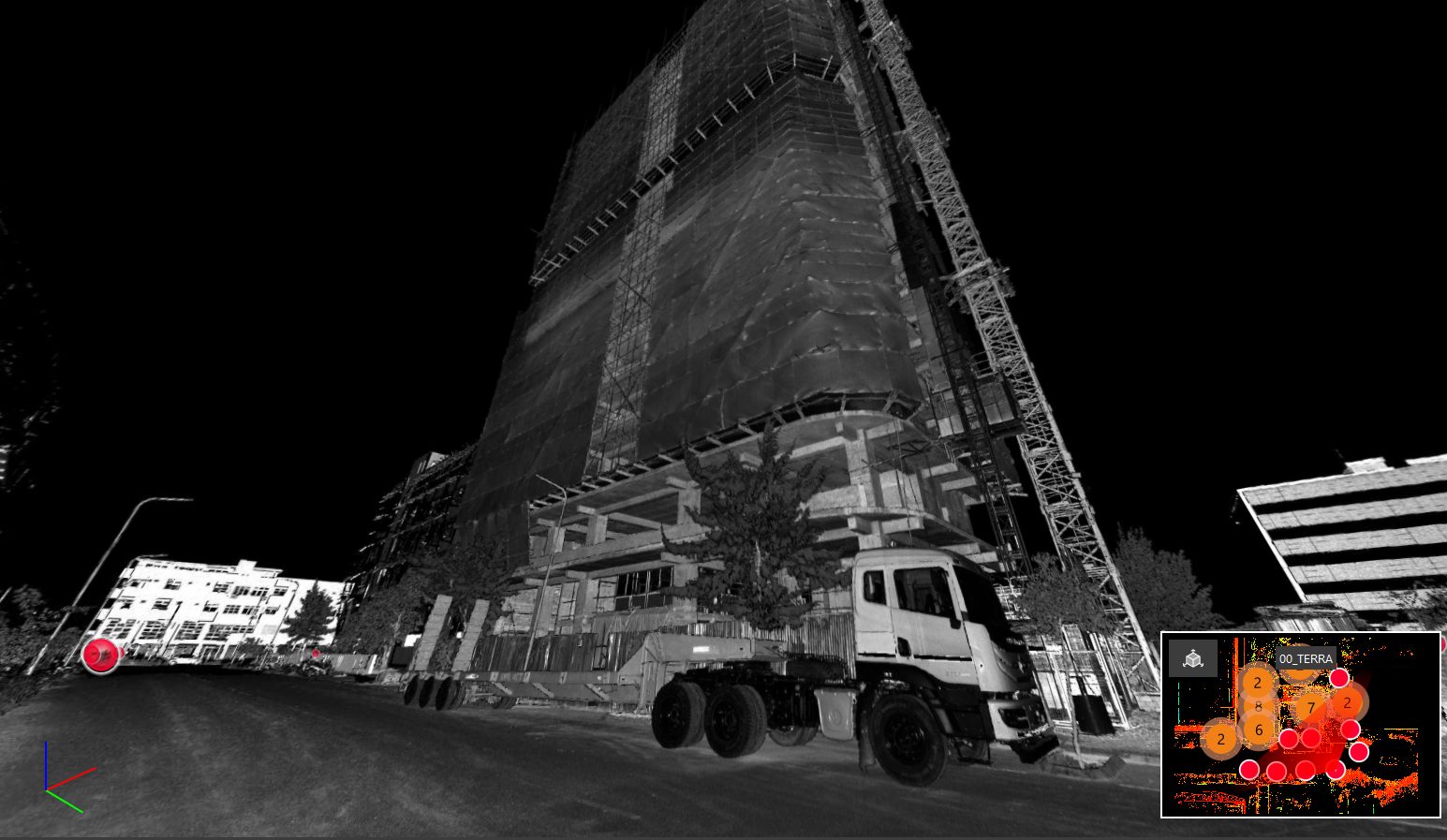
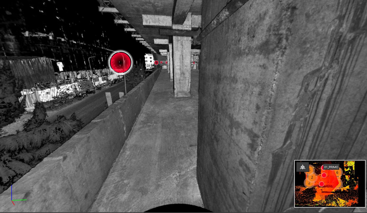
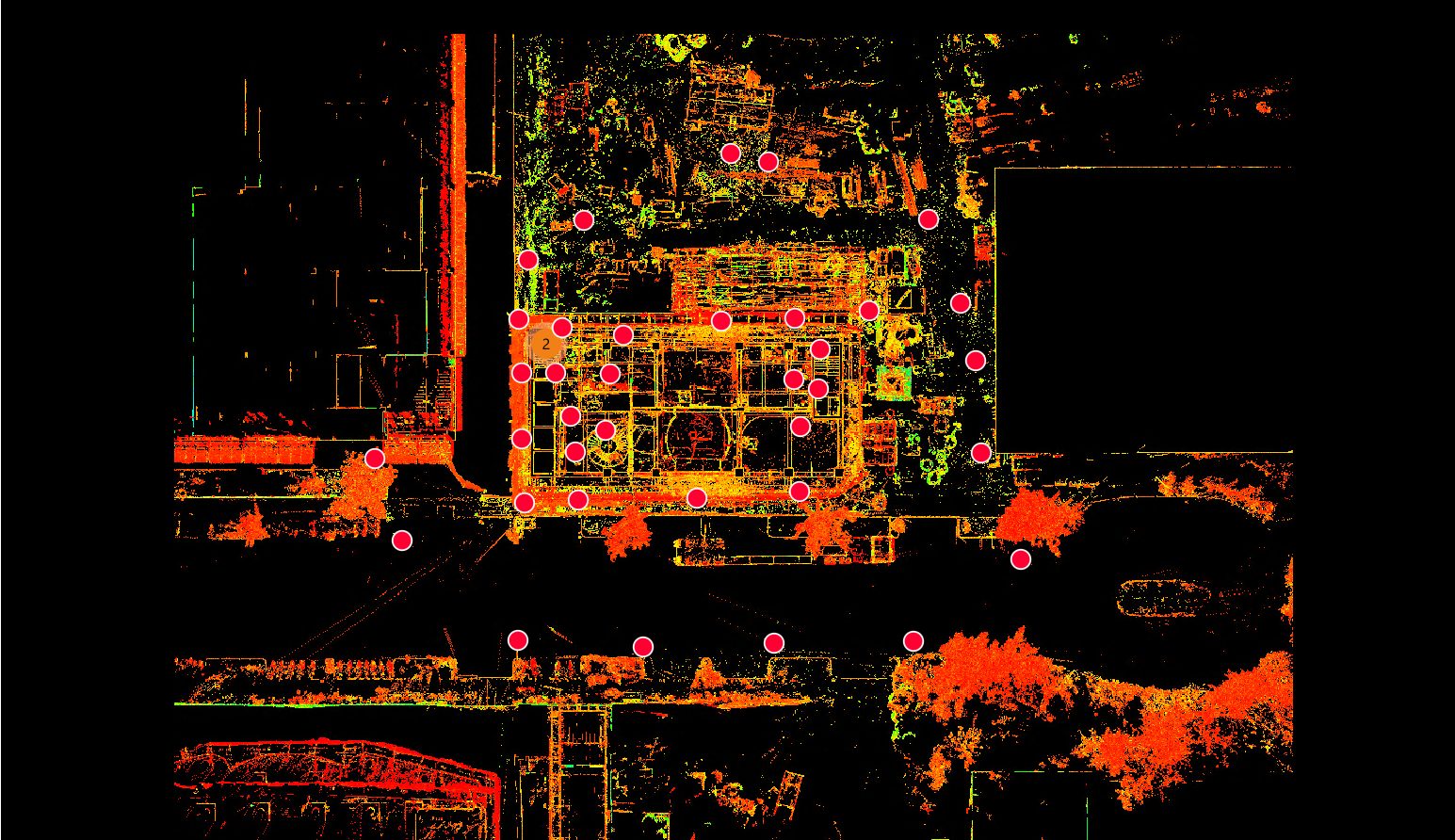
A real example on a 17-storey building under construction: over 1.7 billion points captured across 427 scan stations, delivered as a navigable, georeferenced 3D point cloud.
Frequently asked questions
The most common technical questions on timing, output and precision.
How long does a laser scanner survey take?
It depends on the size and complexity of the environment: a single room might take a few hours, while a multi-storey building under construction — like the example above, with over 400 scan stations — can take several days of on-site data capture.
What do you receive at the end of a survey?
The 3D point cloud in a standard format, a navigable as-built model and, when the project requires it, 2D and 3D drawings of plans, sections and construction details ready to be used in the detailed design phase.
Is a survey needed for new projects too, not just renovations?
Yes. Even on a newly built structure, checking the actual dimensions before designing a custom facade, staircase or glazed element reduces the risk of mismatches between design and site — an error of a few millimetres can mean a panel has to be remade.
What precision does a laser scanner achieve?
The professional laser scanners we use achieve millimetre-level precision, in the order of 1-3 mm per individual measurement: sufficient for designing custom elements such as point-fixed facades or glass treads, where production tolerances are tight.
Can a survey be carried out in historic or listed buildings without any risk?
Yes, it's one of the applications where laser scanning is most valuable: it's a non-contact technology that never requires touching or altering the surfaces being surveyed — suitable even for buildings under heritage protection.
Need a survey before starting your project?
Site survey work is also available as a standalone service, with no commitment to the rest of the design process.